


| Bowness-on-Solway to Carlisle |
| Carlisle to Birdoswald |
| Birdoswald to Steel Rigg |
| Steel Rigg to Port Gate |
| Port Gate to Newcastle Centre |
| Newcastle Centre to Arbeia (South Shields) |
| Hadrians Wall is a walk of three sections. A boring day and a half along roads or very close to roads, then some interesting walking in hilly country with plenty of Roman interest, then a dull final two days with lots more road or paths adjacent to roads, culminating in a tedious walk into, through and out of Newcastle. |
| Would I do it again? Definitely not. Did I enjoy it? The middle section yes, the rest, not really. I'm glad I did it, but there are a lot of much better walks of similar or greater distance that barely touch a road. Surely a walk like this could find a better way? I appreciate it follows the course of Hadrians Wall, but given that it is not seen for more than half the walk anyway, a better route could be devised? |
Distance: 24km
Time: 4 Hours 35 minutes
Total Ascent: 173m
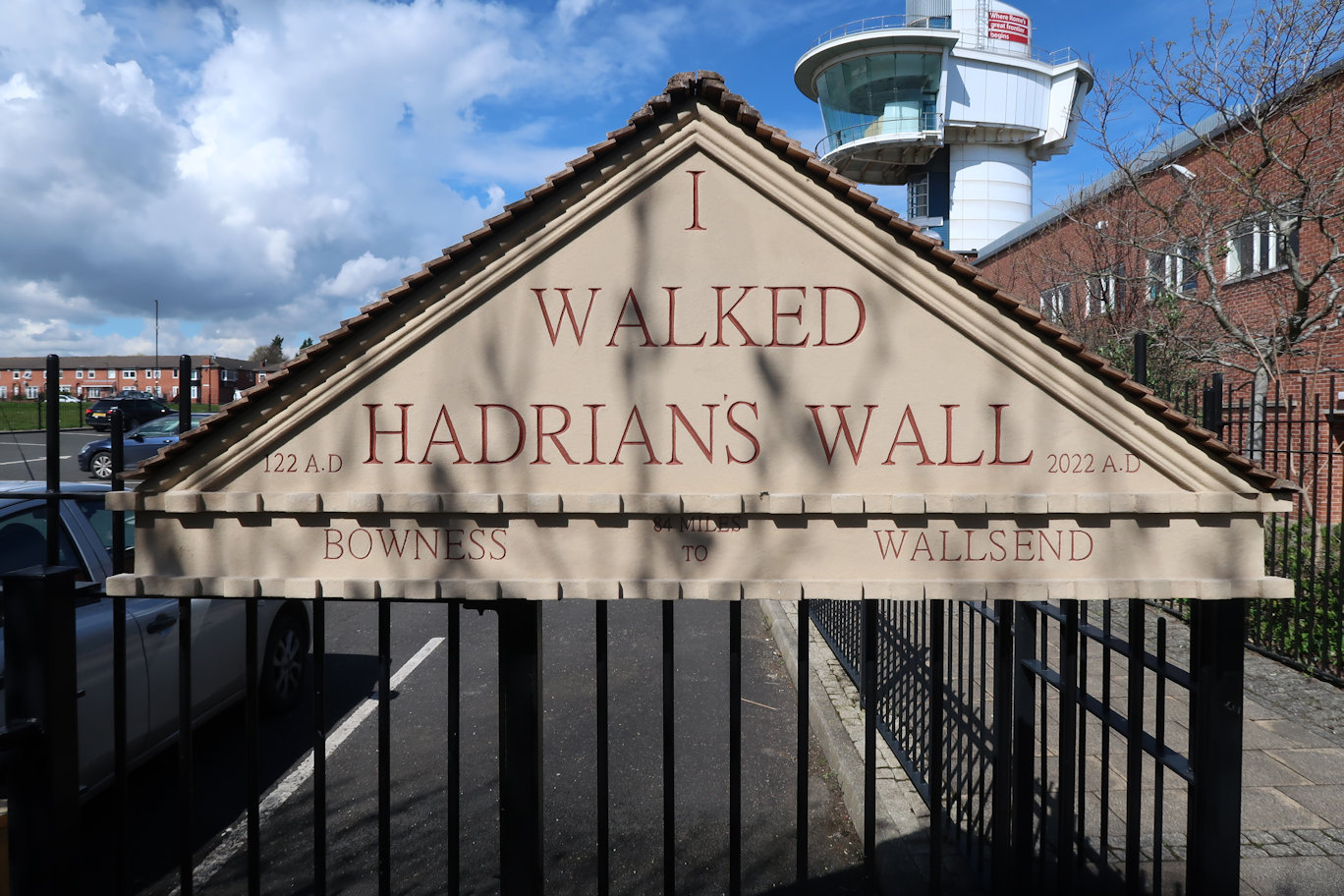
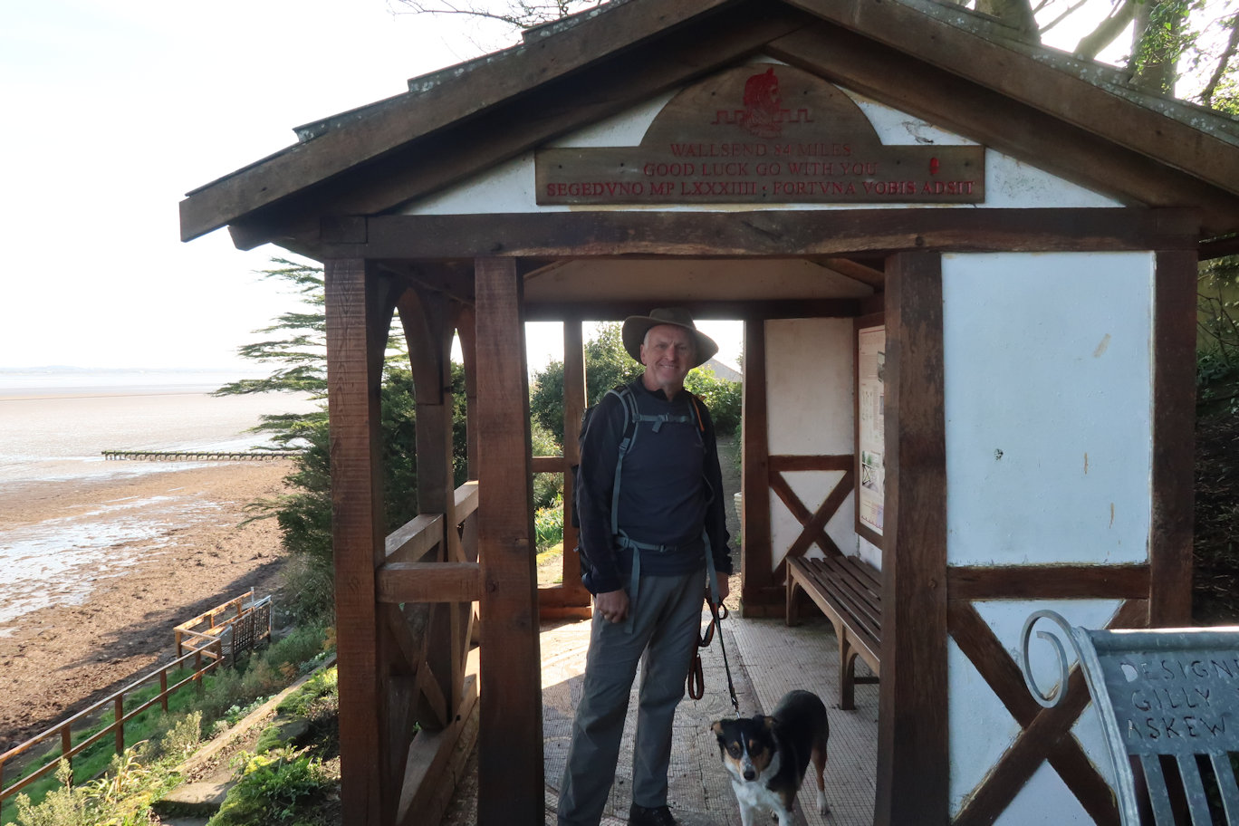
Bowness is a one horse town that almost certainly only exists for the benefit of Hadrians Wall walkers. The Promenade is less than a minute off the Main Street and signposted, so easy to find. There is an information hut which also contains the first 'Passport Stamp' and a 'Good Luck' sign above the entrance on one side and a 'Congratulations' sign on the other so catering for walkers in both directions.
From there, the route heads out of the village and onwards to Port Carlisle, sadly just following the road for the most part. At Port Carlisle there is a short section along a lane but the road is reached again for another short section before a nice path is followed away from the road right the way to Glasson where the route heads towards a caravan park, then turns just before it to follow a long pot-holed lane almost all the way to Drumburgh where once again the road is met. I decided to walk on the Firth side and found a good path that ran parallel with the road but far enough away that I could let the dog run free.
Eventually we had no choice but to move back to the earthwork rise on the other side of the road as the Firth side became increasingly difficult to follow due to small streams criss crossing. It seemed a long way to Longburgh, mostly because it was! There was yet more road walking right the way to Burgh by Sands where I decided to stop for lunch. I was well ahead of the guide time, having been walking for less than three hours where the guide claimed 4 1/2 hours would be needed.
I found a good spot near to the Edward I monument and enjoyed my lunch whilst the dog ignored hers, preferring to watch the cars go by. For such a small road going nowhere in particular, it was very busy.

After lunch I continued through the village until the path temporarily entered a field, but then emerged onto the road again for a short way before leaving it for the day to cross a pleasant field in the direction of Beaumont.
More road walking from Beaumont on to Kirkandrews where a confusing sign appeared to indicate the path headed back and left. I chose to ignore it, then recalled that the guide had mentioned a 'temporary' diversion. Clearly it is a semi-permanent diversion. Thankfully shortly after this, the path heads into fields and continues without sight or sound of roads right the way to the River Eden and in fact, right the way into Carlisle and the finish point of the Sands Centre where the second stamp is located.
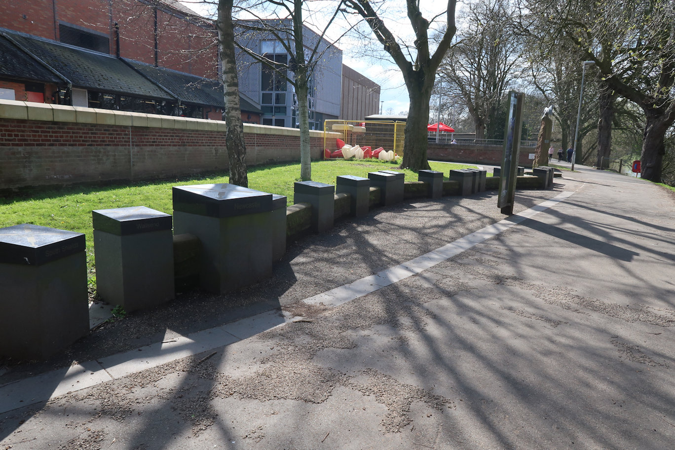
This was the end of my day and thankfully, the bar was open for a welcome beer or two. So far, there have been plenty of references to Hadrians Wall, and it has to be said, excellent signage, but absolutely no sign of the actual wall itself.
Distance: 28.8km
Time: 5 hours 30 minutes
Total Ascent: 406m
Leaving Carlisle was via the river and a couple of parks and it has to be said, it was a very pleasant walk. There was a short section of road before the Way headed out into fields skirting Rickerby and out to Linstock, where, unfortunately road was encountered through the village. Thankfully it was short lived and we were soon into open countryside again, right the way up to the Roman Military Way which, whilst a hard surface was not an actual road and meant that Rosie could run free along it. We crossed a minor road and back onto easy walking tracks, past Old Wall and the airport to the right.
More good walking country eventually bought us into the village of Newtown which was just over half way for the day and an excellent place for lunch with a couple of seats and even a picnic table which I took full advantage of. Lunch was soon done, I didn't want to stop long as I was sure I would seize up.

The afternoon section had a lot of countryside so no lead required through Walton and onwards West in more or less a straight line as was typical of the Romans. During the afternoon walk, we encountered our first hill: Craggle Hill, nice to be ascending after so much flat walking. On the way down the other side, we encountered our first section of Roman Wall! A small piece about 20 metres long, but quite high. The excitement proved almost too much to bear but we continued on through Banks where there was yet more tarmac road, but thoughtfully, the path took a parallel track just inside a field which was nice. From here it was just under four miles to Birdoswald and the wall became more noticeable with several look out towers and plenty of real wall to get properly excited about. Birdoswald is just over the long hill and not visible until the crest where it comes into view 500 metres or so further on.
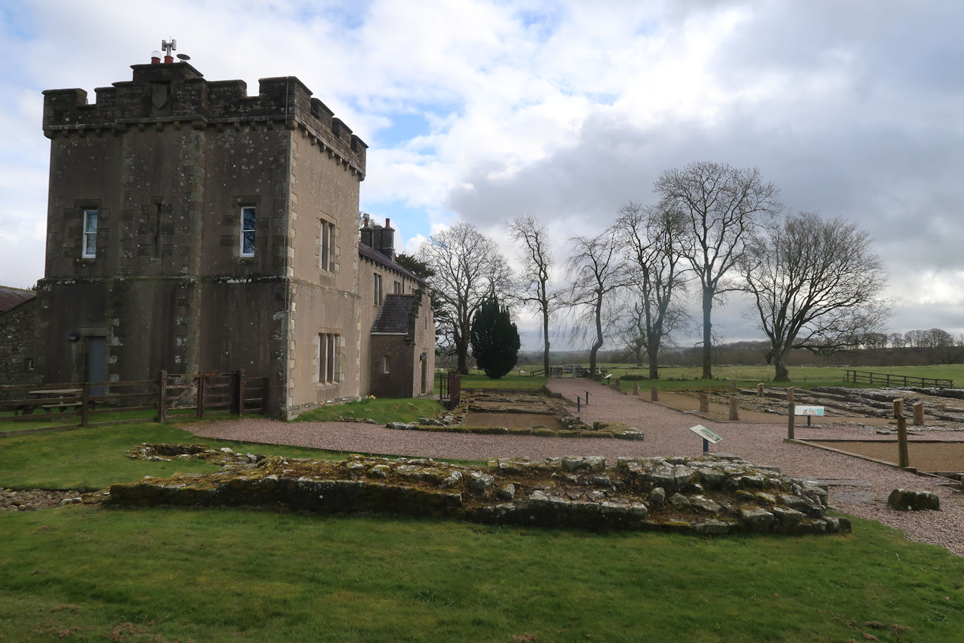
I took full advantage of the cafe facilities, as well as getting my 'passport' stamped. Tomorrow is an easy day so the plan is to visit the site first thing, then continue the walk to Steel Rigg.
Distance: 17.6km
Time: 3 hours 35 minutes
Total Ascent: 618m
Prior to leaving Birdoswald I decided to take a look around. As a fort it's pretty impressive, being where it is, but there's nothing left of any of the buildings, just the outlines. Nevertheless, it was worth a look, although had I not been an English Heritage member, I would have questioned the entry fee.
By 11am I was on my way, following a good section of wall for some distance, punctuated as it is by Milecastles and turrets. It had started raining as well, so I donned full waterproofs. Of course, not long after, it stopped and I felt too warm so I removed them. This was to be the pattern for the whole day.
By Gilsland, however, the wall remains end and the next section is countryside, frequently punctuated by stiles and gates. It is still relatively flat here but a few undulations give a hint of what is to come before the days end.
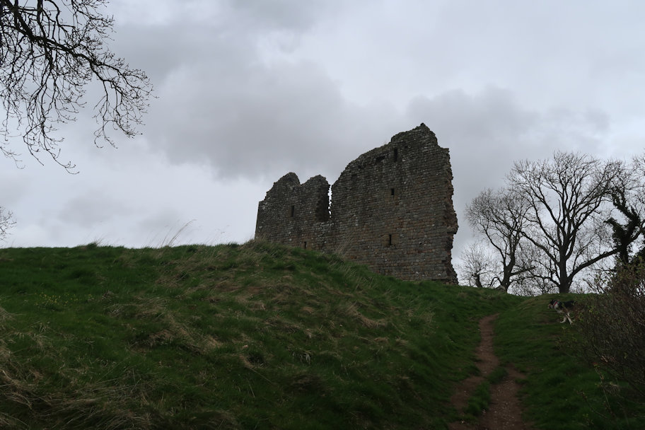
The walk combines with the Pennine Way just before it crosses a main line railway line where there is a helpful red/green light system, very useful, as to the left, the line curves so if a train were coming at around 100mph it's would soon be upon you. Crossing that the route passes close to the ruins of Thirlwall Castle which is barely worth a visit, but I did it anyway. Off to the right, the path crosses a stream and quickly comes to a car park with a small cafe. I elected not to stop, preferring to continue.
The route headed up quite steeply onto a steep escarpment, one side being almost vertical, the other being a steep angled slope. Ahead I could see 20 or 30 people on a walk. Luckily they were at the top of the escarpment and I reckoned if I kept up a good pace, I could beat them to the next wall crossing and be away. As I approached the wall, I looked back and thankfully saw them heading away from my route.
It was getting much more undulating by now, with some good climbs up and steep descents. This carried on all the way to Cawfield and the car park.
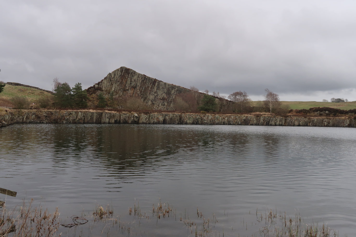
According to the guide, the day was 15km or 9 1/2 miles and I had already done 12km so was not far from the finish, but then I spied a direction arrow, claiming Steel Rigg to be a further 2 3/4 miles. That was pretty disappointing but there was nothing for it but to press on. The steep climbs and descents adding to the toughness of the day. I'd expected a relatively easy day but clearly that was not to be.
I'd seen a small copse of trees ahead and as it was raining again, it would make a good stopping point with reasonable shelter. I'd not stopped since setting off from Birdoswald so was well in need of a drink and a biscuit and I'm sure the dog was as well. We found some reasonable shelter and had our snacks, but soon set off.
On from here, there was some open ground but then a climb upwards to the summit of Winshield Crags where there was a Trig point and a final descent to the Car Park and my finish for the day.
Distance: 30km
Time: 6 hours
Total Ascent: 900m
Sat in the car at Steel Rigg, there was no incentive to get out and walk, there was a strong wind blowing and it was snowing! I took my time dressing in full waterproofs, including my new Rab waterproof - this would be a good test for it.
Finally I had no choice and we set off. Luckily for me, the snow soon slowed and stopped, giving way to sunshine but a very cold wind. I elected to keep my Rab jacket on as a wind proof. Soon enough I passed Sycamore Gap, but having taken plenty of photos on a previous trip, I continued past without stopping.
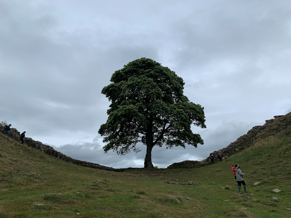
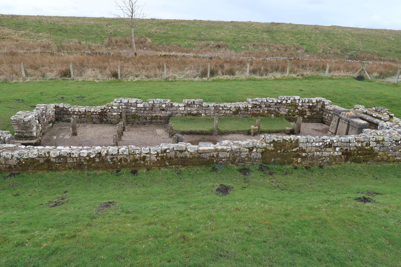
The first few miles were very undulating and quite interesting, culminating in Housesteads Roman Fort where I got my Passport stamp. The walking continued to be interesting for a while, but it eventually gave way to much flatter and rather dull walking as it followed, in true Roman style, a more or less straight line for several miles. The interest was briefly raised with the arrival of Brocolitia and the Temple of Mithraeum but then followed the road, through fields and over stiles until it finally came to a road just above Chesters.
The next section down to Chollerford and through was all on roads. I spied a convenient Bus Stop shelter which did for lunch as it was now raining again. A brief stop, full waterproofs on and I set off on a lot more road for a couple of miles before finally entering fields at Planetrees which gave a glimpse of wall again. The path follows the road but is set back a way so all grass, mud, lots of stiles and even a bit of woodland before emerging onto the final fields and down to Port Gate and the finish.
The afternoon of rain was disappointing, but my waterproof jacket performed well, keeping me dry. It was the longest day of the walk, so I can look forward to a slightly shorter day tomorrow.
Distance: 26.5km
Time: 5 hours 15 minutes
Total Ascent: 264m
Leaving Portgate I was in full waterproofs as it was raining hard, but within 20 minutes I stopped to remove them as the sun had come out. This was going to be the pattern for the entire day.
Other than a few small detours, the route hugged the main road which made for a tedious and boring walk with frequent cars destroying any tranquility and convincing me that the Hadrians Wall Path was one of the most ill thought out long distance paths. Given that the wall is never seen, nor is any real evidence of the Wall, other than sections of the Vallum (ditch) why not move the path into the countryside and get away from the road a bit?
I couldn't even let Rosie off the lead for much of it as the barrier to the road most definitely wasn't dog-proof.
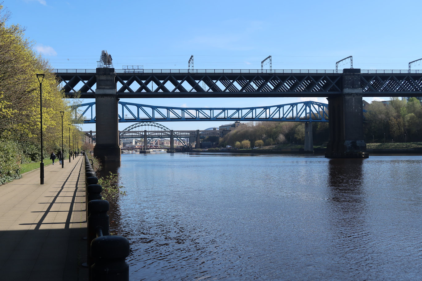
We slogged on the miles, following a very muddy and slippy path. Of course, being quite narrow and seeing a lot of foot traffic, the ground had deteriorated into a mud fest. During this tedium I passed, and stopped briefly at the Robin Hood Inn to gain the stamp in the passport.
More road following, with the path crossing and recrossing the main road eventually we arrived at Heddon on the Wall, a small well-kept village. This signified the end of the road following as the path made its' way down to the River (Tyne) to follow that through various country parks and transforming itself to Hadrians Way, rather than Hadrians Wall Path. A few miles of this until I crossed the A1 in Newcastle and the end of my days walking.
Distance: 24km
Time: 4 hours 30 minutes
Total Ascent: 158m
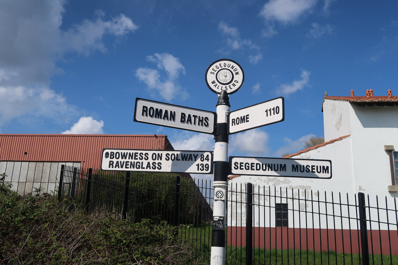
Today was the final day and consisted of a walk along cycle route 72 from my finish point yesterday into the centre of Newcastle which, to be fair, was quite pleasant although totally on tarmac. From there it was lots more tarmac continuing on route 72 through Industrial Parks and small house estates through to Segedunum. It was, without a doubt a route that deteriorated in quality and interest as time and distance went on. I'm not sure whether I was relieved or not to arrive at the official finish of Segedunum as I still had several miles to walk to the ferry and the extension to Arbeia at South Shields.
I spent some time at Segedunum, getting my Passport stamped and having lunch. The weather had been kind all morning and the sun was shining so I sat outside in the sun. The museum doesn't have a cafe which is a bit of a surprise, so I couldn't have a coffee or cake, but was happy enough with my lunch.
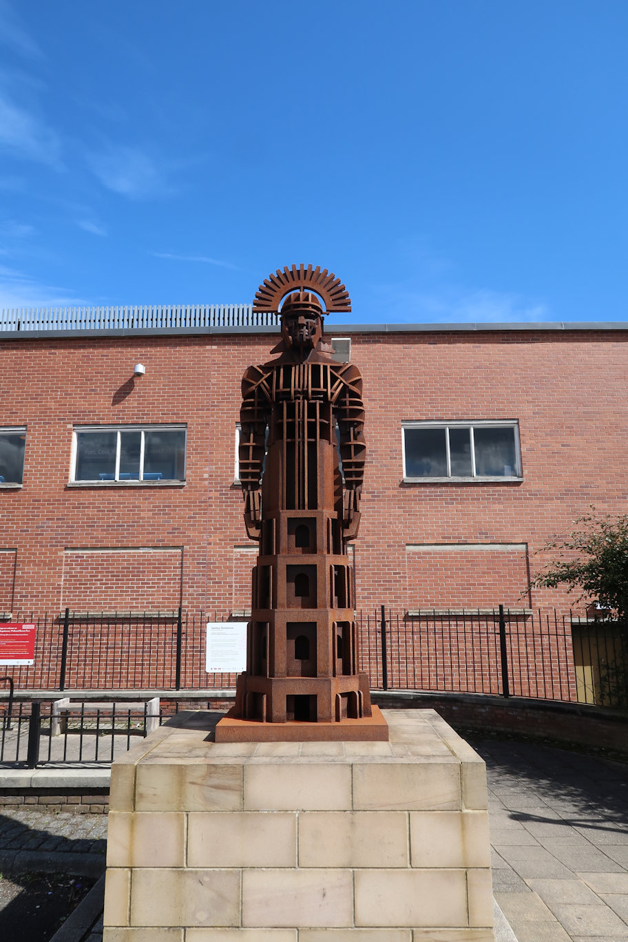
I soon set off for the final few miles to the ferry on even worse roads but still following route 72 via main roads, a retail park and along to the ferry port, arriving at 14:20 which was ideal to catch the 14:30.
The crossing took just 7 minutes but as we crossed, I could see the rain approaching. The skies had been building for a while and the weather reports had heavy rain about 3-4pm so it was right on time.
On the South Shields side I had a mile or so to walk to the meeting point, but the rain started so I had no alternative but to don full waterproofs.

Arriving at the car park on the beach I decided that would do, so once my ride arrived, we drove around to Arbeia. By now, it was heavy rain but we visited the site anyway. It was free to go in and very interesting, with a few reconstructed building which made it much more interesting than the other sites we had done. Shame about the rain really.