


| 200 Miles long | Shropshire Way | |
| Stage 4: Craven Arms to Clun(11 miles) | ||
| Stage 5: Ludlow to Craven Arms(10.5 miles) | ||
| Stage 9: Wellington to Ironbridge(12 miles) | ||
| Stage 10: Rodington to Wellington(6 miles) |
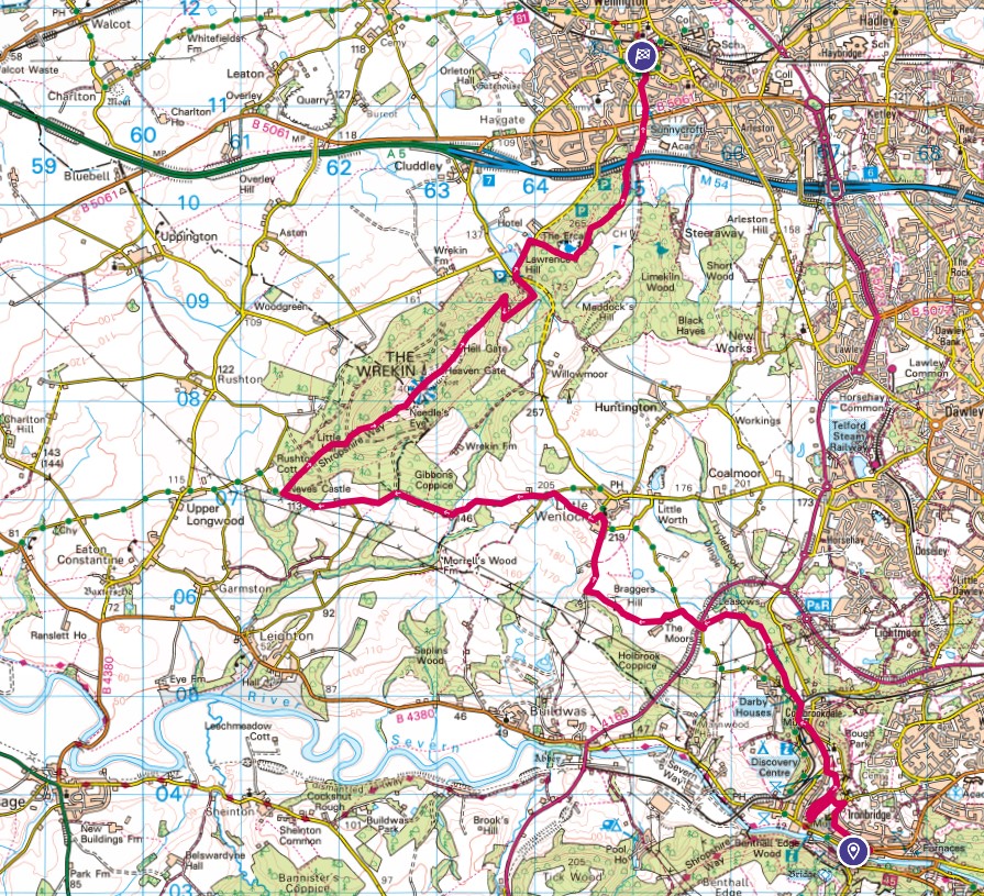
Following on from the second half of Stage 10, for practical reasons, I was walking this section in reverse compared to the guide. Leaving Wellington I followed some sneaky footpaths until we emerged on the road that led under the M54 and up to the impressive gates of the Golf Club - clearly an exclusive club! The path entered woodland and Rosie was off exploring. This area is known as The Ercall and is the precursor to the main climb of the day up to the summit of The Wrekin (407m). The legend has it that there were two giants who had fights and threw rocks at each other, one of the giants picked up a rock to throw, then dropped it, it became the Wrekin.
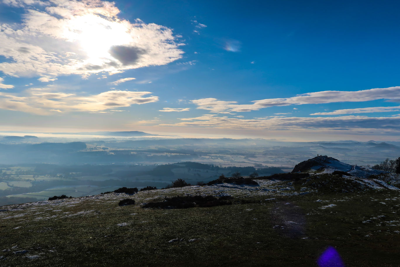
Through and out of the woods, there is a short road section to a car park and then the climb begins on a good, wide track that ascends quite steeply in places and is clearly popular, although I suspect most walkers park their cars at the bottom and walk up rather than like myself, had already walked ten miles before I got to the foot of it. Steadily up it passes the Half Way House which, during the summer is a popular cafe, but at this time of year (December) closed. No matter, I had plenty of food and drink so continued upwards. Eventually the big mast comes into view and there is one final steep section before the summit ridge appears. Being a very cold day I decided to seek some shelter on the lee side to have a drink and lunch before completing the actual summit.
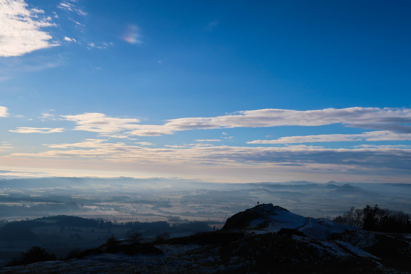
Lunch done, we headed off on the short final section to the summit. The views all around were superb, the day being clear and bright, but very cold meant there was a lot of low lying mist in the valleys. I didn't stay long as the wind had picked up and added to the chill, preferring to head down the far side. It is less of a track, more a path through the woods and clearly not as popular which was fine by me. The Way meanders through the woods on thin and at times steep downhill paths eventually exiting onto a narrow lane. This lane is followed for a couple of miles to Little Wenlock, with a short field section to cut the corner.
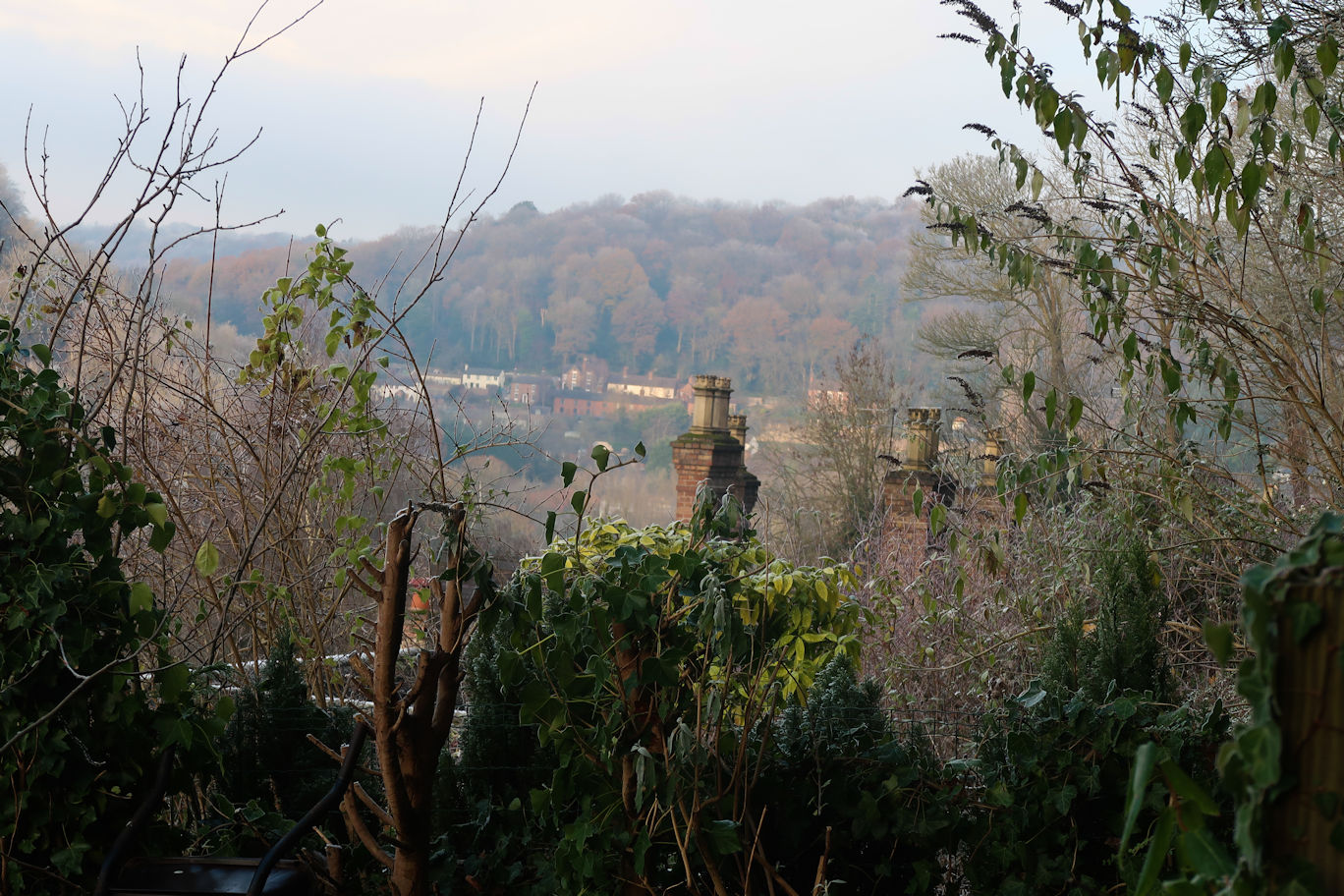
A bit more lane and then some nice field walking, although at this point the mist had appeared, obliterating the sun and taking the temperature down several degrees. Another short road section and I was into more woodland coming onto The Ropewalk which would take me to the outskirts of Ironbridge and the first of the many museums in this part of the world. Past that and under the bridge I emerged onto the main road into the town, but soon crossed and left it, walking past the very impressive Youth Hostel.
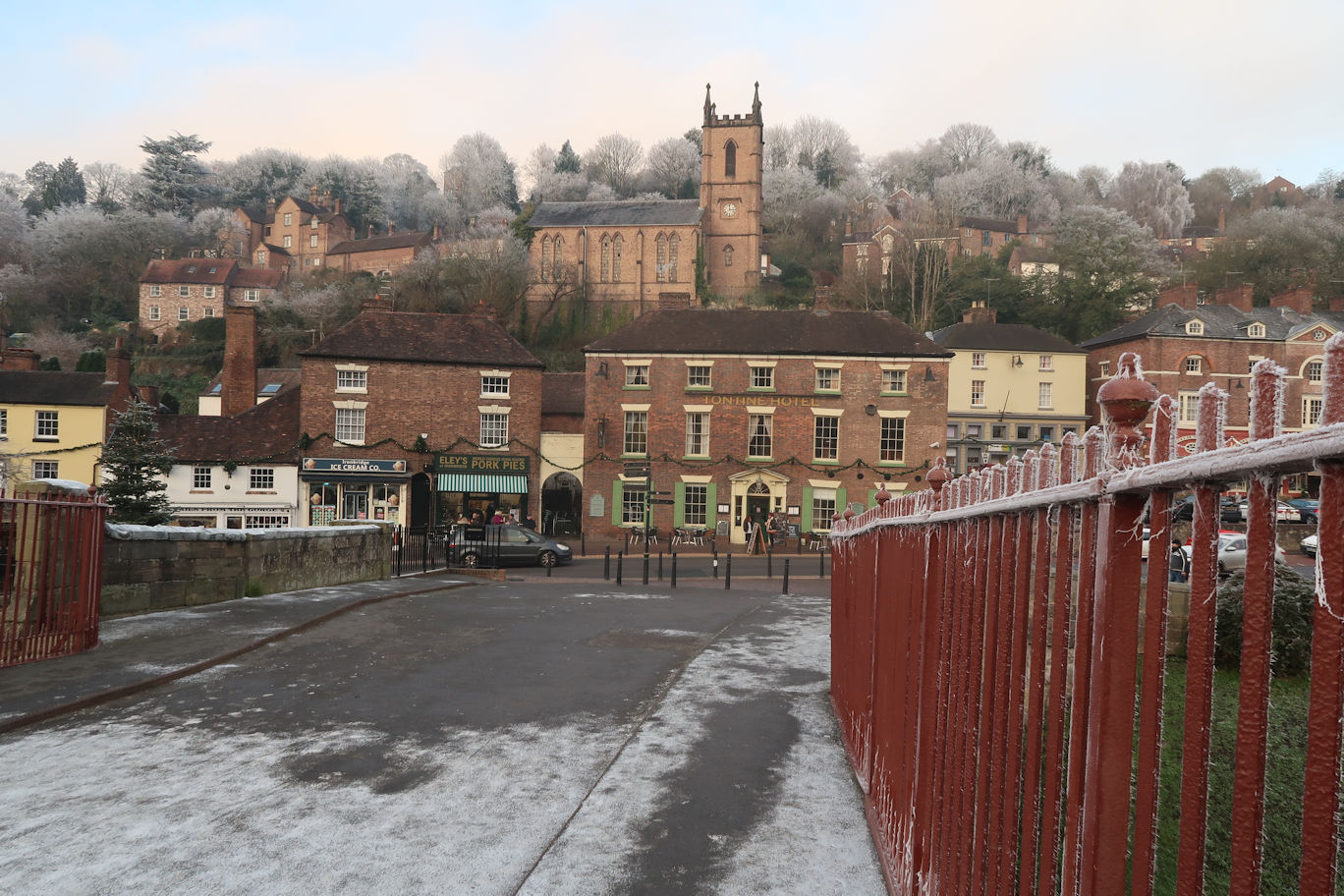
The Way turns steeply up a bank, but rather than going directly to the summit, follows the contours to the end, then very steeply up on man-made steps to the site of the Rotunda, a view point from the Victorian times. The Rotunda itself is no longer there, but the view itself is impressive. Back along the other side, the path turns right and emerges onto a road which leads down to the main town and within a few minutes I arrived at the famous bridge that gives the town its name. The day done, all I need to so was to wait for my ride out, and what better way than to visit the local hotel for coffee and cake?